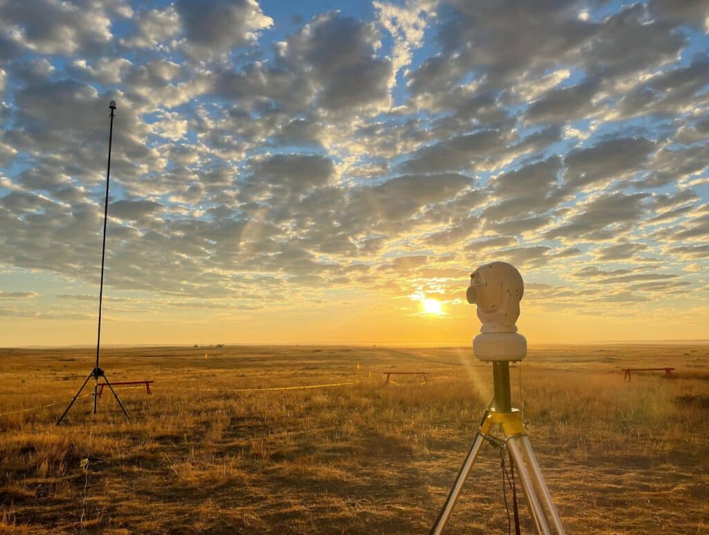
LiveLink Aerospace, a UK team of aviation specialists, has secured a portion of a £3.2 million research fund from the UK Government to address the impact of wind farms on air defence, maritime and civil aviation radars. In support of this vital project, LiveLink has acquired HTZ Communications for modelling and simulating the impact.

Wind turbine blades can disrupt radars causing detection issues and compromising national security. Radar interference, known as clutter, is a challenge for air defence. To maintain radar integrity, LiveLink’s air defence solutions enhance radar and surveillance system capabilities. Their passive sensors – PDAR (Passive Detection and Ranging) are located on wind turbines to significantly reduce radar clutter from turbine blades, enhance intruder detection and eliminate wind farm coverage gaps.
HTZ provides diverse functionalities for these calculations. The Wind Turbine Test Point Reflection function assesses multiple points as wind turbines, determining their reflective cross-sectional area and computing the reflected signal's strength at existing stations.
The Wind Turbine Interference function conducts a point-to-point analysis for each receiver on the map, reporting received power from each wind turbine and transmitted by each activated transmitter. It creates a C/I or I/N map to evaluate the wind turbine's impact on the desired signal, performing a P2P analysis for each receiver and calculating the reflected signal power and threshold degradation. The wind turbine’s reflected signal levels are determined using the bi-static equation.
HTZ simulates wind turbine shadows and their impact on radars using a polygon of the area. Batches of turbines can be imported to expedite calculations. The software processes RF coverage predictions and automatically analyses using remote simulations distributed across multiple LAN-connected computers.
LiveLink uses the Profile tool in HTZ to analyse transmission and reception sites, illustrating the altitude and clutter layers with coloured ground occupancy codes. HTZ displays the first Fresnel zone with coordinates in metres and field strength in dBμV/m. Users can estimate the Doppler effect caused by wind turbine rotation through dynamic RCS simulations for standard RCS calculations.
LiveLink also employs HTZ’s heat detection maps to evaluate the probability of detecting and tracking different aircraft and ships to assess the potential impact of wind farms on safe airspace surveillance. The Heat maps cover a range of scenarios and support simulations with varying radar cross-sections (RCS), sea states, and more. 3D heatmaps can be viewed in HTZ or exported into other systems.
LiveLink takes the output from HTZ and uses this data as input for further specialist analysis and processing in their own software. LiveLink’s software integrates with HTZ’s output to allow advanced modelling, including hundreds of simulated threat or emergency scenarios. Lastly, LiveLink models the effect of installing mitigations like new generation ‘stealth’ turbines, additional radars or alternative passive sensors such as PDAR. The final analysis is then presented to the client and the planning authority to provide a comprehensive analysis of threats, risks, mitigations, and solutions.
LiveLink
LiveLink Aerospace specialises in innovative aviation technology solutions, including electronic engineering, specialised systems manufacturing, onboard AI, UAV airframe design, edge computing, algorithm development, and cross-domain consulting. LiveLink Aerospace’s Airspace Intelligence System provides precise airspace monitoring, seamlessly integrating with existing systems to enhance security for airspace and restricted drone/UAV activities.
For more information about LiveLink and this project, visit their website.


