Explore the array of the latest new features in this month's release: HTZ v.2023.10.2 & 10.3. Users can access the latest release through the customer portal.

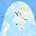
Night & Day map = Right-click on map/coverage: compute night and day from the Longitude of the selected point
Fig. 1. Day Length - 9.98 at Latitude: 4905.
Coverage = 0 dB echo coverage map added. NB. if stations 3G/4G/5G: best server RS map is used, otherwise RSSI best server map.

Spectrum / Windfarm / Convert wind turbine to DTM or Building = With the option to change DTM
NB. If building: the maximum height of the wind turbine depends on the building range (preferences dialogue box).
From 0 to 254 -> WT mast height + WT blade size cannot exceed 254 m
From 0 to 512 -> WT mast height + WT blade size cannot exceed 512 m


Update TS/Rif: takes ETSI class (if filled) to find the masks.

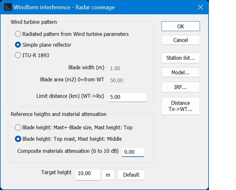
Spectrum/ Windfarm/ Wind turbine vs radar coverage = Computes interference on radars from wind turbines (radar rotating antenna) and computes radar coverage according to the threshold degradation calculated for each azimuth.
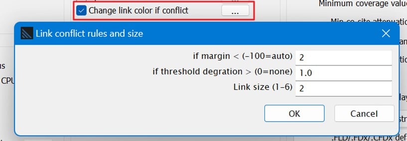
Preferences / Change link colour if conflicting = New behaviour if unchecked and if user-defined colour (object properties - F5 key): links take the colour of the Tx station


