Check out the latest new and updated features in HTZ. We’ve simplified our product version numbers for HTZ and ICS Manager: version xxxx.yy.z with xxxx = year and y or yy = month. z denotes when more than one release in the same month. For example, 2022.7 was released this month and 2022.7.1 = second release in the same month.
Aeronautical Spectrum Management - This feature looks at spectrum coordination for ILS/VOR/DLE to check conflicts with other systems. The process has been automated to identify the interfering station (candidate) depending on its extended height radius. These stations can be isolated to avoid conflict during the completion of calculations. It also features an improved profile which considers heights instead of altitude in feet and meters.
ICS Manager no-DB – the new release incorporates the HTZ installation package. This now supports the import of fixed and mobile terrestrial notices T11 /T12 and G12.
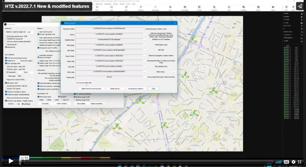
User Interface - Project path set to support priority orders - this feature sets the project path with an attached priority (not set by default).
Cartography - Ability to create DTM from data LAT 70 and 71 in the Northern and Southern Hemisphere (previously unavailable). Capability to download terrain DB from across the globe in different formats. Additional links are added when the website publishes new links for data downloads.
Mobile - PCI Planning - now features a group option for PCI code and assignment for mobile stations. If checked, the same PCI code will be assigned to all stations sharing the same "Group" set in their parameters.
4G/5G Calculations
Users can specify the min. and max. physical call ID for 4G/5G. Use the group code set in the station parameters to assign to the PCI. To calculate MIMO gain this now considers the multi-user situation (MU) when multiple layers are applied. The total number of layers is automatically calculated per user. SNIR PBCH can be computed for 5G stations.
Propagation models - Co-site attenuation calculator considers two co-located antennas on the same pixel. This looks at free-space losses from one antenna to another or additional co-site attenuation for more protection, which considers free space and min. co-site attenuation.
P2P and MW Links – The "Orient antennas" feature will tilt both heads with values giving the lowest attenuation. Nb. this feature does not check if the path is in NLOS conditions. In batch mode, the MW Link antenna orientation, if the path is in NLOS conditions, the trans-horizon antenna orientation applied. Else, tilts of both terminals are set in order to give the lowest attenuation (resolution 0.1 deg).
For a full list of new features and functions, contact your local office.


