As we kick off Q2 2022, market indicators suggest that innovation in the defence development sector is achievable through wireless connectivity and access to emerging technologies. In this month’s newsletter, we look at how defence research agencies leverage private sector expertise to drive innovation in the military.
On driving innovation, sign up for ATDI’s latest webinar: 5G and the military. This event will look at how the defence industries are leveraging communication networks to adapt to advanced military threats. For more info and to register.
This newsletter will also include the latest update in HTZ, how private-LTE/5G networks support remote-based industries and our latest offering of the most up-to-date map data available.
Best wishes from the ATDI team
Check out the latest product updates in HTZ v.23.5.8. Users can access the upgrade via CRM. For any additional support, please contact the Support helpdesk at support@atdi-group.com
Import a group of frequencies for frequency assignment in a text file.
Composite coverage: option to display coverage in dBm values only (RS or RSSI coverage).
.SBH format no longer supported and replaced by .EQT format.
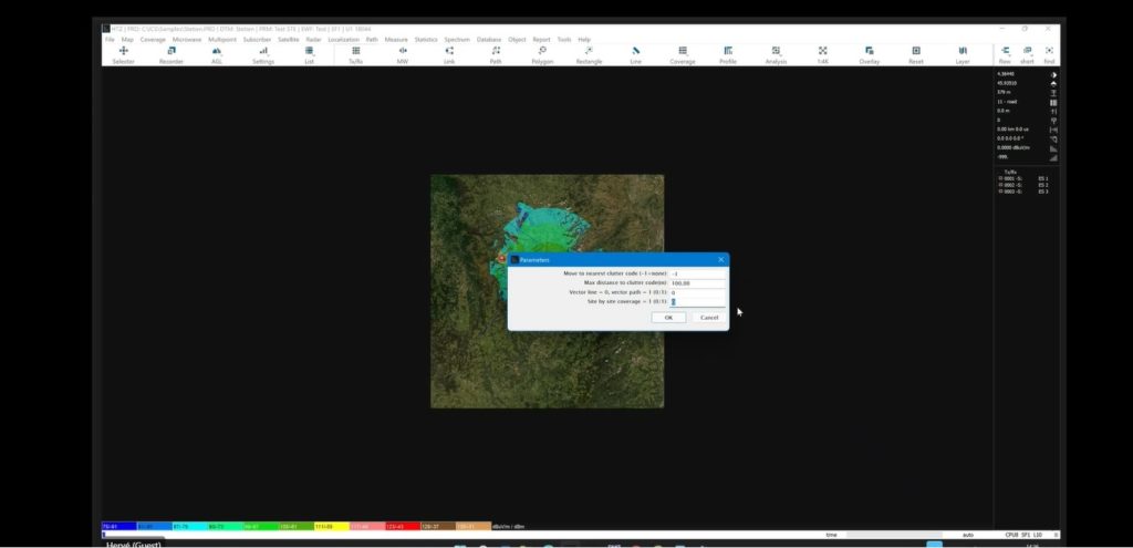
Vector line or vector path coverage to include site by site coverage.
Import vector layer to analyse what’s happening between ground and aeroplane.
Beamforming azimuth/tilt is now displayed in the profile window.
Sub-path FINE transferred to other methods (FINE fast) and FINE enhanced renamed to FINE.
New standard model ITU-RM 1851 cossec for vertical patterns added.
4G/5G in TDD mode – If the downlink/uplink ratio if set to 100%, all the RBs are taken into account for the throughput calculations.
P2P along vector lines, path and points: adjustment to how mobile antenna orientation is computed.
A new version of ICS Manager no-DB is available: the ability to select satellite antenna type (from .GXT or 672 or 847).
TLE satellite's new coverage option: able to compute the percentage of satellites seen on a map.
Beamforming capabilities: interference calculations using earth station – selecting a directional antenna and updating range.
Satellite / Satellite to stations (IRF) and Stations to satellites now support multi-channels.
For the full list of product updates, click here.
| With over 7,000,000km² of the mainland country, transporting goods from Australia’s remote rural areas is often only achieved via trains and/or large road trains (trucks). ATDI was engaged by leading global mobile network integrator, Vodafone, to assist in designing a private LTE network to support their customer with their supply chain operations in Australia. |

ATDI assisted with several deliverables:
Baseline design evaluation: to assess the performance of the network and evaluate its compliance with the requirements. This included reviewing the existing network design, evaluating Digital Elevation Models (DTM) and identifying areas that require improvement. A desktop-based study was completed to evaluate the base station positions and to determine which sites needed to be moved or replaced. The identified replacements saw some of the previously proposed Greenfield sites replaced with customer-owned Brownfield sites. The study also identified overlapping sites that could be removed with minimal impact on network performance. Antennas were also considered, and the original 2x 2 port antennas were replaced with 1 x 4 port antennas, resulting in improved operational and maintenance efficiency.
Link budget assessment: ATDI assisted in verifying the values of the link budgets, considering the different throughput requirements for use cases like automation of trains, drones, and stationary structures. This validated the assumptions associated with link budget values. This information was then applied to develop a methodology to estimate capacity requirements for the network.
Network optimisation: Lastly, ATDI completed network optimisation to improve the overall performance of the network using the new and existing resources.
Vodafone Group plc.
ATDI has worked with Vodafone Global Enterprise (VGE), a division of Vodafone Group plc, on one of VGE’s customers. The project, in its design phase only, will if built, delivers a dedicated Mobile Private Network (MPN) across a VGE customer’s supply chain operation. LTE for railways LTE wireless communications support mission-critical voice and broadband services for the rail sector – both private and public. LTE supports advanced broadband applications, addressing critical health, safety and environment requirements and allowing Governments and Private enterprises to operate more efficiently. This well-established technology has a long future ahead of it. Even with the onset of deployment of 5G technologies, LTE will provide a long-term foundation for 5G networks. LTE offers railways a host of benefits including enhanced safety, improved operational efficiency and innovative passenger services.

| A growing number of military research agencies are turning to ATDI for spectrum engineering support for complex radio modelling problems. Innovation has long been a buzzword in the military, but talking the talk doesn’t always result in change for soldiers on the ground. It’s unclear whether technology or operational necessity drives innovation in the military. What is clear is that without a constant stream of innovative technologies and capabilities, the military will fail to identify future threats and modernise to gain strategic and tactical advantages. This is where ATDI and military research agencies come to the fore. Strategic partnerships between the private sector and the military are not new. However, research agencies are looking externally to improve turnaround times, gaining access to industry recognised solutions and reducing their reliance on in-house experts. ATDI has worked with the Defence Science and Technology Laboratory (Dstl). Dstl provides an independent review of products and solutions to support UK military operations. Dstl is exploring the use of HTZ Warfare to predict military communications and electronic warfare systems RF performance while supporting real-time situational awareness in the battlespace. HTZ Warfare is also being evaluated for radio systems to ensure they not only communicate but have sufficient capacity to meet the military’s growing reliance on big data. And, HTZ is used as a concept demonstrator for a web-based service, providing an easy to use interface for users to make calculations using the HTZ Warfare spectrum engine without training. Similarly, the Agency for Defence Development (ADD) in South Korea, has been working with ATDI for over a decade using HTZ Warfare to support tactical radios, radars and satellites. It is used across a number of technologies ranging from maritime communications to unmanned vehicles. Projects include modelling drone-to-drone communications, where one drone uses a high-altitude platform (HAP) to extend the communication range of the drone. This project applied ITU-R 528 propagation model to model network coverage in HTZ Warfare. ATDI also provides support for managing satellite coordination for GSO and non-GSO satellites. In Australia, the Defence Science & Technology Group is the leading agency to safeguard Australia and its national interests. The Group uses HTZ Warfare across the organisation. One primary use case is frequency coordination and frequency deconfliction in the battlespace environment. They also utilise the RRL plug-in alongside HTZ Warfare to access the ACMA’s Australia’s national spectrum regulator’s spectrum database for frequency assignment. The RRL plug-in acts as a middleware to import licensing data from the ACMA directly into HTZ Warfare. This enables the DSTG to model the impact of frequency allocation and increase spectrum awareness. HTZ Warfare is used across land-based communications and P2P microwave links. Recent HTZ Warfare purchases come from the Defence Electronics Research Laboratory in India. They use HTZ Warfare to optimise the locations to deploy Direction finders (DF) and for tactical mission planning. HTZ was supported with a custom training course to enable the end user to deploy the software at speed and to support ongoing operations. Other use-cases include the modelling of Link16 into airport DVOR and aeronautical radar. HTZ supports the modelling of maritime surveillance drones to identify the maximum communication range and link reliability. This allows a drone to be located in one country but operating over a far larger area or across enemy terrain. |
Imagine accessing the most up-to-date map data images available at the click of a mouse.
ATDI now offers access to map data sets sourced in the last 48 hours. This latest feature is available through a signed agreement with leading map provider, Maxar who offers maps with a vintage of 48-hours up to 30-days old. This partnership will see ATDI offer access to Maxar’s High resolution (HR) datasets (DTM/Clutter/Buildings) at 1m or 5m resolution, plus orthorectified images.
For full details on these latest map data sets, contact your local office
Wednesday, June 15, 2022 | 11:00 AM ET | 16:00 PM BST
Join the ATDI team for our latest military webinar.
Today’s battlespace arena features data-heavy applications that need secure and robust networks to support the seamless integration of applications. These resilient, high-speed networks feature low latency and seamless capacity on the battlefield and when managing disasters. 4G/ 5G offers the perfect network solution, with satellite providing connectivity in remote and rural areas.
Join us to learn how 4G/5G and non-terrestrial networks (NTNs) can support innovative new military applications using spaceborne or airborne assets and provide connectivity in areas previously with no coverage or during a crisis. You'll get an overview of the challenges facing LEO satellites and how coverage can be achieved to support data-driven applications.
The panel will explore two uses cases for the defence sector:
Register today. https://www.workcast.com/register?cpak=9162280399767980&referrer=6.15.22webinar


