The demand for low-cost map data has never been greater, particularly for high-resolution datasets for emerging technologies like 5G. Added to that, is the constant battle to control project costs when purchasing datasets and managing procurement delays.
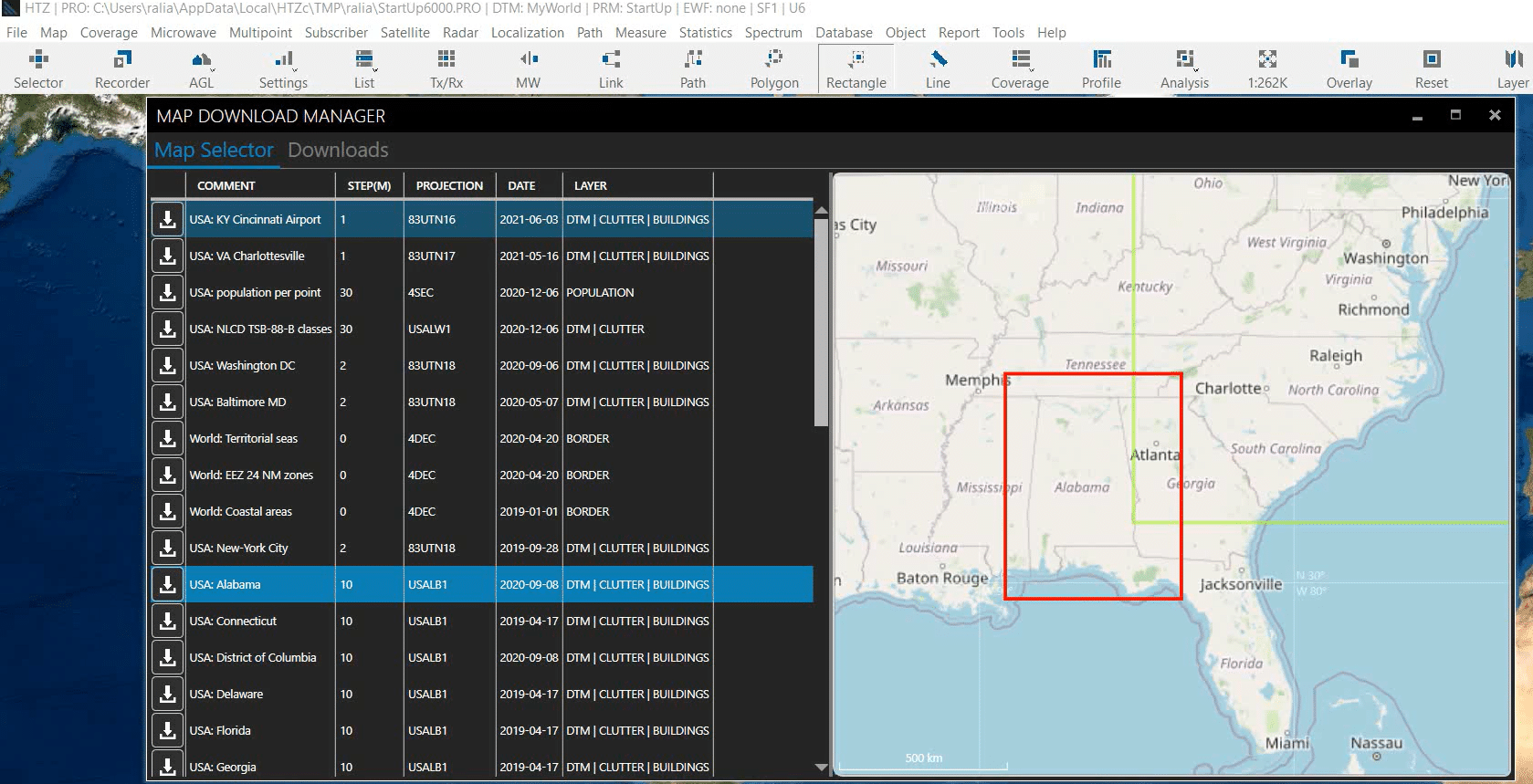
ATDI offers users access to their extensive cartography library. This royalty-free database supplies maps for use directly with HTZ, and saves valuable time and project finances on sourcing and producing data. The library includes various digital terrain models (DTM), clutter and 3D building datasets. Access to high-resolution 2m map datasets with 3D building layers are dependent on publicly available sources.
ATDI covered the importance of map data and its sources in their latest webinar. The session included a guided tour of the library and a demo on project set-up and map data downloads. Manipulating buildings in a project was covered including how to add objects to the map and model its impact on coverage.
The second part of this session considered RF propagation analysis and its effects and interactions with the environment. This focused on MIMO antennas and beamforming functions in HTZ, as well as the antenna database. Viewers walked through a sample 5G coverage study using the different raytracing functions in HTZ and compared the outcomes using different settings available in HTZ.